|
Starting from the car park, walk out on to the road and turn right. On the
bend, take the footpath on the right into Swithland Woods. Where you reach a
track, turn left, climbing over a stile and walking down a tree lined
footpath to a road.
Turn
right along the road, and walk through the
village of Swithland going
straight on at the junction. Shortly after The Griffin Public House, and
before the church, turn right along a track, soon veering off to the left
along a footpath. Keep straight on along this path until you reach the road,
where you turn left then take the first footpath on the right just after the
houses.
Bend
right behind the houses, then left across the field. Keep to the left of the
hedgerow in the gulley, and head down towards a stile which takes you over a
small bridge to the road. Turn right, crossing the Rothley Brook on a
bridge, followed by a raised walkway, and continuing into Thurcaston. At the
crossroads go straight on, then take a footpath off to the right just before
a modern development before the church.
 Walk
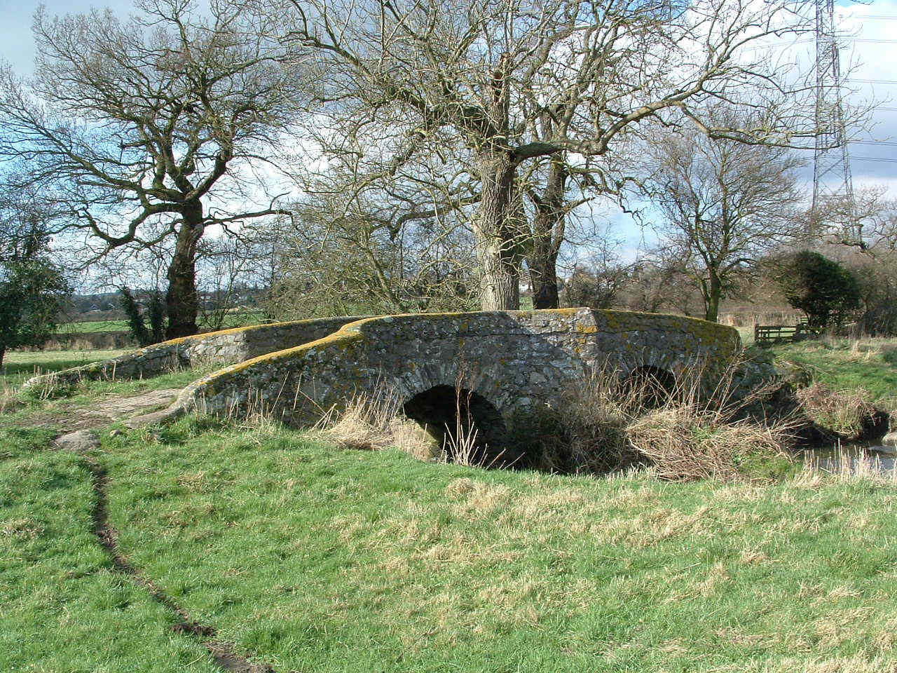
along this path crossing the brook at an old bridge, and head
up a field with ridge and furrow still visible, towards the village of
Cropston ahead. When you reach Cropston cross over the residential street and go
straight on down to the main road. At the road, turn left, then take the
footpath off to the right cutting across fields to
Bradgate Road. Walk
along this path crossing the brook at an old bridge, and head
up a field with ridge and furrow still visible, towards the village of
Cropston ahead. When you reach Cropston cross over the residential street and go
straight on down to the main road. At the road, turn left, then take the
footpath off to the right cutting across fields to
Bradgate Road.
Turn
left at the road, then after about 500m take a footpath on the right along
the edge of the trees. Head to the right of the large pond, and then
continue along the path, which leads behind some
wooden
cabins. Where you meet the bridleway turn right, and at the end of this
bridleway turn left along the track, heading towards the woodlands.
Once
in the woods follow the yellow markers which signify the bridleway. Keep to
the clearly marked track, turning right when you reach the fence around the
old quarry. Turn right again when the path forks going downhill. Walk
through the clearing, turning left at the far end alongside some blue
railings. Walk along this path past a hut, back to the car park.
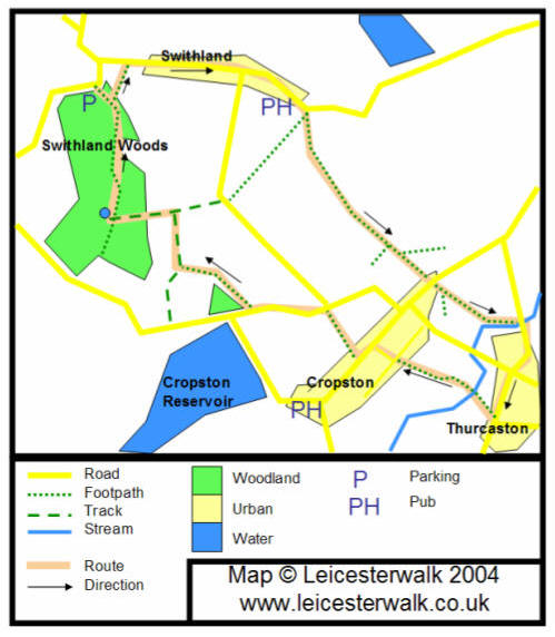
MAP:

Map copyright LEICESTERWALK 2004 - Based on Ordnance Survey
1:50,000 mapping.
Disclaimer - We cannot accept responsibility
for any loss or injury caused during walks found on this site. Whilst we
make every attempt to ensure accuracy of information, rights of way or
landmarks may move or change. We advise you always carry the relevant OS map
with you. |